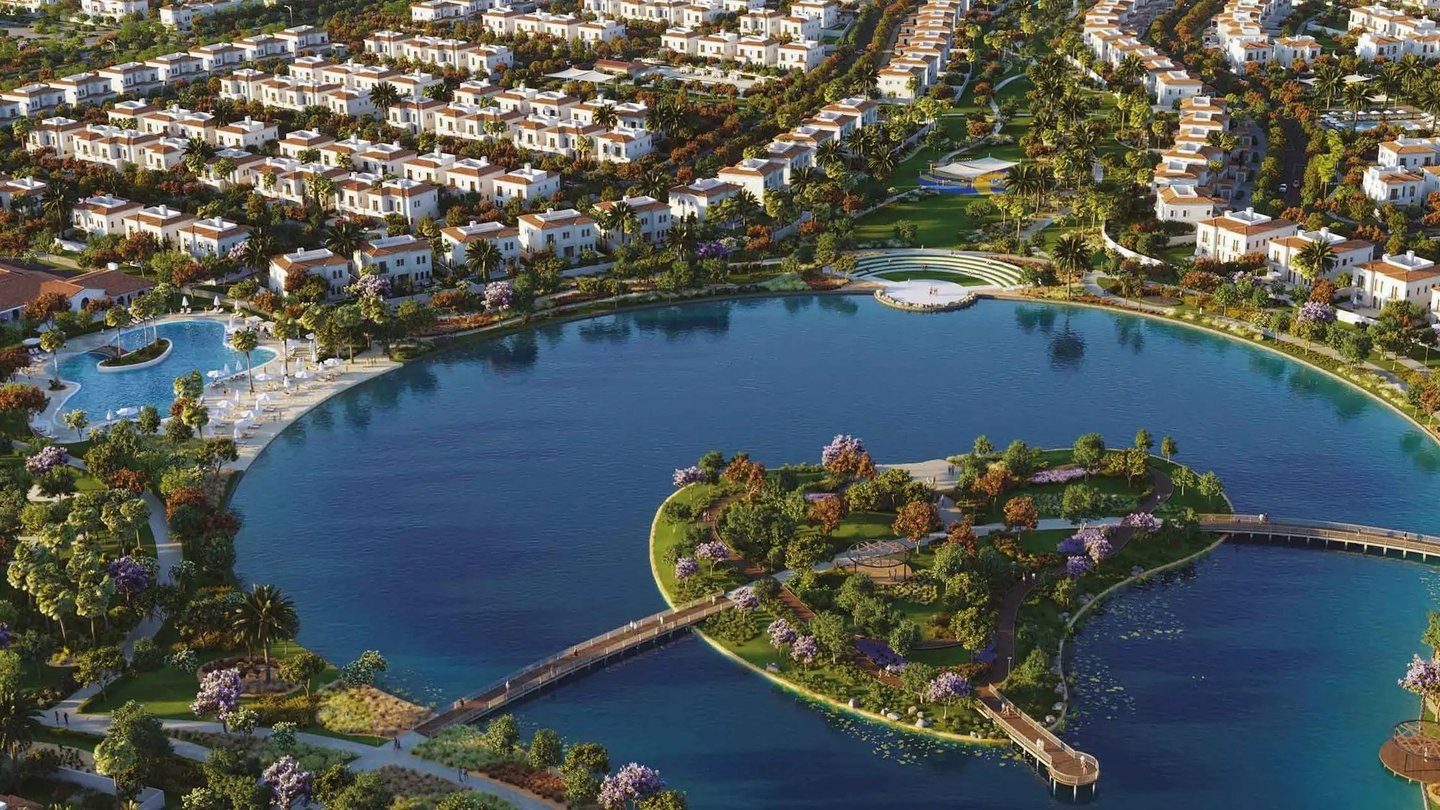
Zayed City (Madinat Zayed in Arabic, not to be confused with the town of the same name in Al Dhafra Region) is a vast master-planned district located roughly 7 km south of Abu Dhabi Island, between Mohammed Bin Zayed City and Zayed International Airport. As a centrepiece of Plan Abu Dhabi 2030, it is set to become the UAE's federal administrative centre and the main home of Abu Dhabi's own government bodies.
The combined value of projects associated with the district has been estimated at US$40 billion. Yet Zayed City is not planned as a purely bureaucratic zone: its design places strong emphasis on walkability, cycling and a generous public realm.
Zayed City at a Glance
- Area: approximately 4,900 hectares
- Planned population: over 370,000 residents
- Role: seat of the UAE federal government and second downtown for Abu Dhabi
- Layout: distinct precincts and districts, each with its own character, land use and facilities
- Green space: around 45 landscaped gardens planned
- Places of worship: roughly 35 mosques in the master plan
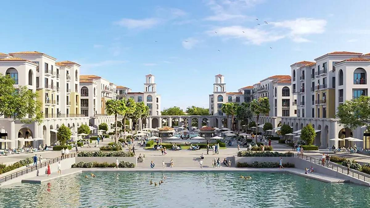
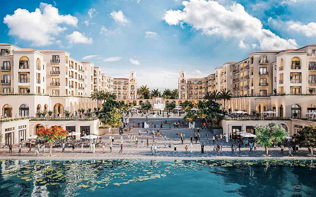
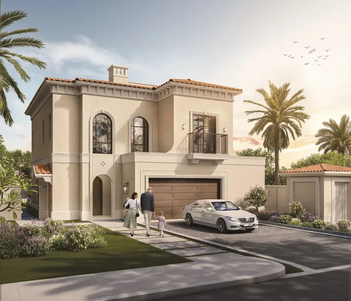
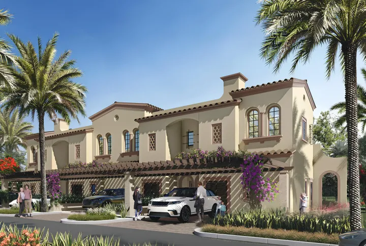
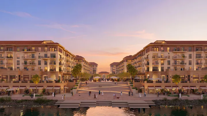
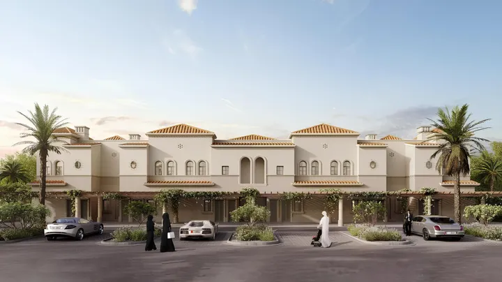
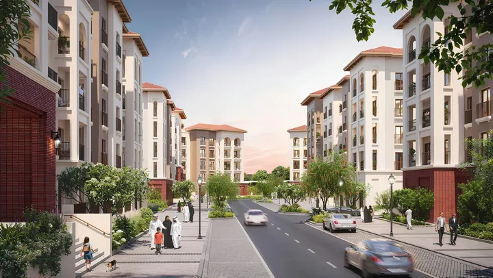
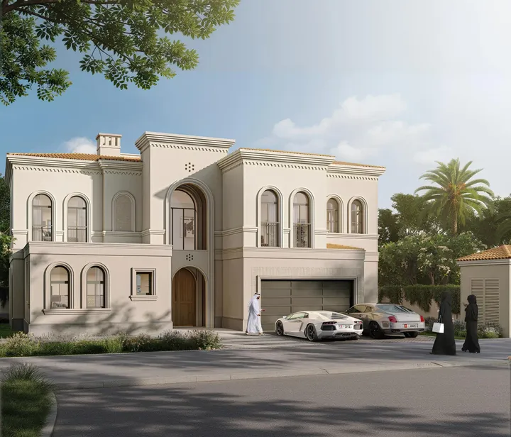
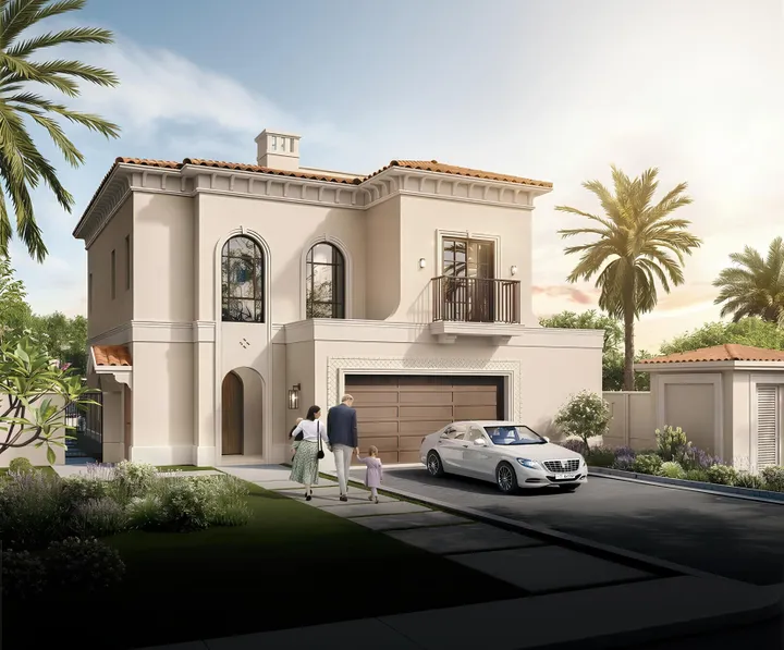
Official plans feature grand civic boulevards, pedestrian-friendly streets, neighbourhood parks, schools and retail streets. Today the atmosphere is that of an emerging district: quiet, spacious and dotted with the first privately built villas. That early stage is exactly what makes Zayed City one of the most strategic locations on the Abu Dhabi mainland for buyers who want to secure land before the district matures.